
The 30 largest countries (and territories) by total area, roughly to scale (thanks to the Dymaxion map projection).
3 years ago by zksmk to c/map_enthusiasts
map_enthusiasts
@sopuli.xyz
6428
629
1667
For the map enthused!
Rules:
post relevant content: interesting, informative, and/or pretty maps
be nice
go to feed...
map_enthusiasts
@sopuli.xyz
6428
629
1667
For the map enthused!
Rules:
post relevant content: interesting, informative, and/or pretty maps
be nice
go to feed...
Btw, here's the Dymaxion map projection with Tissot's indicatrix of deformation.
And here's the Peirce quincuncial map projection with Tissot's indicatrix of deformation.
And here's the classic Robinson map projection with Tissot's indicatrix of deformation.
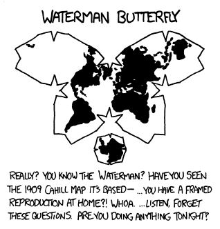
And here's the Waterman butterfly map projection with Tissot's indicatrix of deformation.
And here's the, oh horror, Mercator map projection with Tissot's indicatrix of deformation.
Dymaxion map projection does a pretty good job with this info.
save